Paths Greenways Bridleways Tracks
 PG: OBJECTS: PROMOTION: Ashwell 20 BW
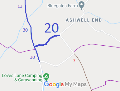
Map showing Ashwell 20 bridleway
Annotated map reproduced courtesy of Googlemaps.
This route runs from the public road generally westwards to Ashwell 30 bridleway (Love Lane).

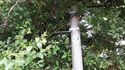
At the time of the BHS 2021 Access Survey (11 Sep 21), no gates were across the path. One sign was missing. Survey photographs (1 to 4) are from Ashwell End heading westwards. Photos 5 and 6 show the start of the western end of the path from two viewpoints.
Ashwell 20
1. Missing sign at north-eastern end
Photo: Nicki Harris, 11 Sep 2021
Ashwell 20
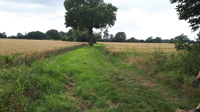
2. Looking south-west from road
Photo: Nicki Harris, 11 Sep 2021
Ashwell 20
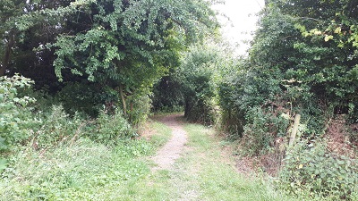
3. Continuing south-westwards
Photo: Nicki Harris, 11 Sep 2021
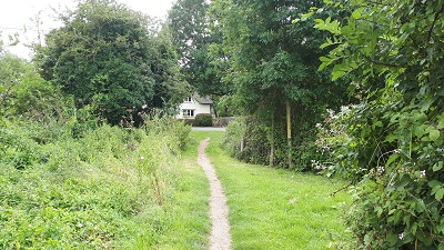
Ashwell 20
4. Continuing south-westwards
Photo: Nicki Harris, 11 Sep 2021
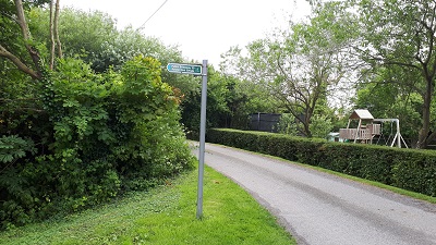
Ashwell 20
5. Sign at western end
Photo: Nicki Harris, 11 Sep 2021
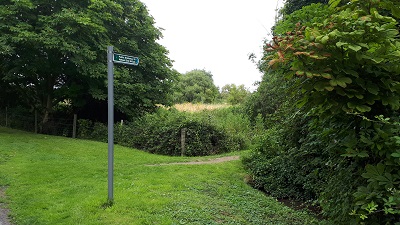
Ashwell 20
6. Sign at western end
Photo: Nicki Harris, 11 Sep 2021

Legal History
1 Nov 1953: Recorded as part CRF (Carriage Road used as a Footpath) and part footpath on the original definitive map and statement.
The route was reclassified to bridleway/footpath.
Definitive Statement (4 Dec 2015)
Path: [Ashwell] 20.  Status: Bridleway/Footpath.  Definitive Map sheets: 1, 2
Commences from county road at southern end of plantation SW of Bluegates Farm thence SW to cross BR30 (Love Lane) thence SW to S of moat thence NW to join FP2 (Hinxworth) at parish boundary.

© 2022 Patchetts Green Bridleways Trust.

Stats2