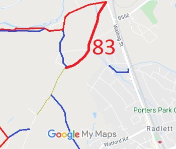
Annotated map reproduced courtesy of Googlemaps.
Oakridge Lane then becomes a hardened surface track that continues south westwards to the water treatment works and bridleway Aldenham 74.
Although legally an unclassified county road (UCR), its maintenance is handled by the County Council's rights of way team (according to the County Council's website). The contact is Dawn West.
We need a volunteer to photograph this route for this year's Access and Riding Rights of Way Survey. It's easy - just take photographs (safely) when you use the path. Find out more!

 This route was identified as in use and not recorded on the definitive map when members of the Patchetts Green Riding Club surveyed the riding routes in the area as part of the British Horse Socety's Access and Riding Rights of Way survey in 1991. As it was legally a road with numbers 4U23/30 and 4U23/40, it did not need to be recorded on the definitive map. However in 2006, Parliament decided that byways open to all traffic would no longer be able to be recorded from 2026. The BHS and PGBT made an application to record the route that year. The resulting order was finally confirmed in 2018.
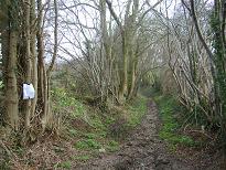 From junction with Aldenham 72
Photo: Phil Wadey, 27 Jan 07
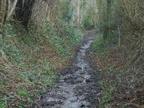 Part way to River
Photo: Phil Wadey, 27 Jan 07
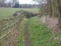 Approaching the River Colne
Photo: Phil Wadey, 27 Jan 07
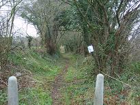 Starting from Watling Street
Photo: Phil Wadey, 27 Jan 07
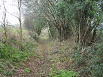 Part way to River
Photo: Phil Wadey, 27 Jan 07
