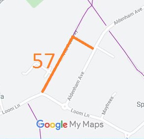
Annotated map reproduced courtesy of Googlemaps.
At the time of the BHS 2021/22 Access Survey (8 Dec 21), there were no gates or obstructions across the path. It is signposted 'The Pathway' at each end.
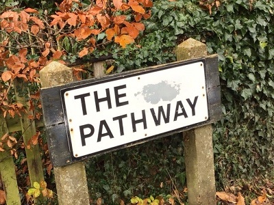
1. Sign at SW end on Loom Lane
Photo: Heidi Wakelin, 8 Dec 2021
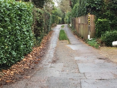
2. View from Loom Lane
Photo: Heidi Wakelin, 8 Dec 2021
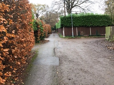
3. Approaching right-angled bend
Photo: Heidi Wakelin, 8 Dec 2021
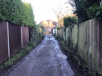
4. View towards Aldenham Avenue
Photo: Heidi Wakelin, 12 Jan 2022
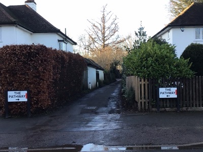
5. Sign at junction with Aldenham Avenue
Photo: Heidi Wakelin, 12 Jan 2022
 If you have ridden the route, please download a user evidence form and then follow the instructions and return the form to us. It only takes a few minutes to fill in (the whole form fits on one side of a piece of A4 paper). If you have any other questions, please email us.
