
| PG: OBJECTS: PROMOTION: HERTSMERE: Aldenham 53 RB |
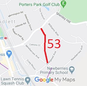 Annotated map reproduced courtesy of Googlemaps. |
This route starts on Shenley Hill and goes generally southwards across the northern end of Cannons Close to junction of Newberries Avenue and Craigwell Avenue.
At the time of the 2021 Access Survey (4 Oct 21), no gates were across the path and it was signposted at each end. There should really be signs at the junctions with Canons Close as well, but these were not present. |
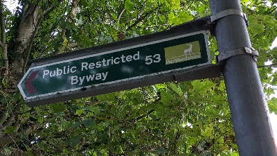 Sign at Craigwell Avenue Photo: Michael Rackham, 4 Oct 2021 |
||
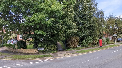 Start at Craigwell Avenue Photo: Michael Rackham, 4 Oct 2021 |
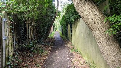 View northwards Photo: Michael Rackham, 4 Oct 2021 |
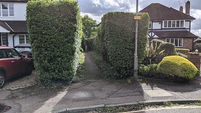 Looking south from Canons Close Photo: Michael Rackham, 4 Oct 2021 |
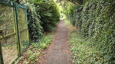 View northwards Photo: Michael Rackham, 4 Oct 2021 |
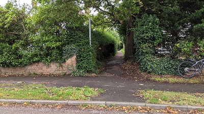 Looking south from Shenley Hill Photo: Michael Rackham, 4 Oct 2021 |
| Legal History 20 Jun 1953: Recorded as CRB (Carriage Road used as a Bridleway) on the original definitive map. 2 May 2006: Restricted Byway rights were confirmed or created on Aldenham 53 by virtue of ss 47 and 48 Countryside and Rights of Way Act 2000. |
Definitive Statement (4 Dec 2015)
Path: [Aldenham] 53. Status: RB. Definitive Map sheet: 85 Commences from Shenley Hill SW of junction with Williams Way thence S across northern end of Cannons close to junction with Newberries Avenue and Craigwell Avenue. |
|
Maintenance
This route is maintainable at the public expense by virtue of s.49(1) Countryside and Rights of Way Act 2000. |
© 2024 Patchetts Green Bridleways Trust.
