
| PG: OBJECTS: PROMOTION: HERTSMERE: Aldenham 5 BW |
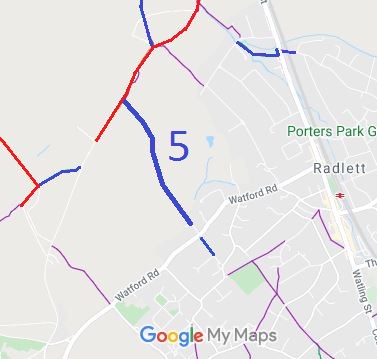 Annotated map reproduced courtesy of Googlemaps. |
This route runs from Oakridge Lane (shown in red) to Delfield Close. Aldenham 5A continues the other side of Watford Road.
At the time of the 2021 Access Survey (15 Sep 21), there was one gate with gap to the side at Oakridge Lane. The path was signposted at each end. |
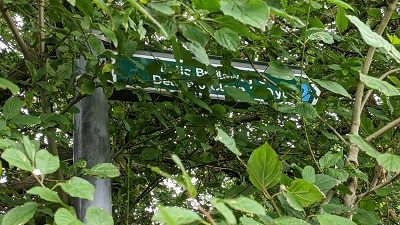 1. Sign at Oakridge Lane Photo: Michael Rackham, 15 Sep 2021 |
||
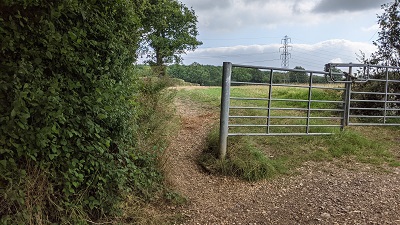 2. View from Oakridge Lane Photo: Michael Rackham, 15 Sep 2021 |
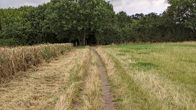 3. Heading southeastwards Photo: Michael Rackham, 15 Sep 2021 |
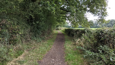 4. Heading southeastwards Photo: Michael Rackham, 15 Sep 2021 |
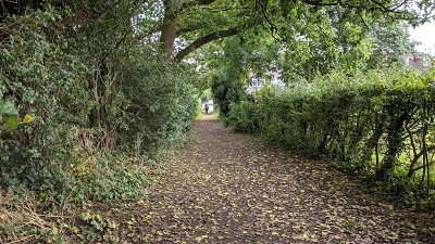 5. Heading southeastwards Photo: Michael Rackham, 15 Sep 2021 |
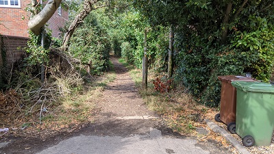 6. View back from Delfield Close Photo: Michael Rackham, 15 Sep 2021 |
| Legal History 20 Jun 1953: The route was recorded as a bridleway on the original definitive map and statement. DM sheets DM3-31 (TL10SE) and DM3-38 (TQ19NE). |
Definitive Statement (4 Dec 2015)
Path: [Aldenham] 5. Status: FP and BW. Definitive Map sheets: 77 and 85 Commences as a FP at a junction with Oakridge Lane at TL 1529 0070 then SW on the east side of Oakridge Lane along field headland and through a copse for a distance of approximately 360 metres to a junction with Oakridge Lane at TL 1512 0038. Continues from Oakridge Lane as BR it passes SE to Delfield Close. Width: 2.5 m between TL 1529 0070 and TL 1512 0038. |
© 2024 Patchetts Green Bridleways Trust.
